

Pacific “Climate Switch” Locks In: 2026 Models Now Signal a Fully Formed Super El Niño on Track to Rival Historic Extremes
Maryam Tariq
What long-range climate models are now converging on is not just another El Niño cycle, but a near-confirmed high-intensity ocean warming event developing in the Pacific, with projections suggesting it could rank among the strongest since modern records began.
Despite being a naturally recurring climate pattern, the 2026 setup is unusual because multiple forecasting systems, including the ECMWF, are now indicating near-certain (up to 100%) El Niño development, with peak intensity expected by November 2026.
What exactly is developing?
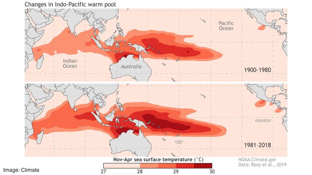
El Niño refers to the abnormal warming of the central and eastern tropical Pacific Ocean, typically disrupting global wind and rainfall systems.
In this case, forecasts show:
- Sea surface temperature rise: +2°C to +3°C above average
- Classification threshold for “Super” El Niño: ≥ +2°C anomaly
- Development likelihood: ~100% in latest ECMWF projections
- Peak timing: Late 2026 (Oct–Nov window)
This would place the system in the upper extreme range of recorded events, comparable to or stronger than 2015–16, and potentially approaching historical analogs like 1877-level intensity estimates.
Forecast Snapshot (2026 Super El Niño Projection)
| Factor | Projection |
| Formation Probability | ~100% |
| Peak Timing | Nov 2026 |
| Ocean Temperature Anomaly | +2°C to +3°C |
| Historical Comparison | Stronger than 2015–16 likely |
| Climate Classification | “Super” El Niño (informal term) |
Expected Global Impact Pattern
El Niño does not affect the world evenly—it redistributes heat, rainfall, and storm energy.
Regional Breakdown
| Region | Expected Impact |
| North America (Southwest US) | Flooding risk, flash storms |
| California | Heavy rainfall bursts, storm runoff risk |
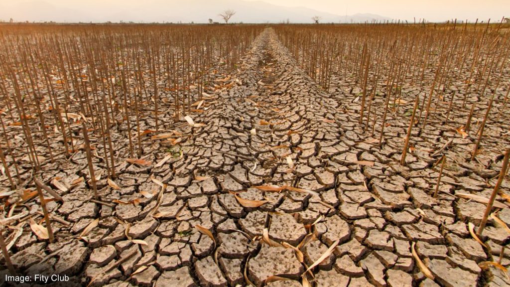
| Central America | Severe drought, water stress |
| Southern Cone (Argentina/Chile/Uruguay) | Excessive rainfall & flooding |
| Southeast Asia | Heat stress, crop damage, drought pockets |
| Australia | Elevated wildfire and drought risk |
| Atlantic Basin | Reduced storm count but erratic behavior |
Hurricane Season Shift (Key Signal)
One of the most important climate side-effects is the restructuring of hurricane activity.
2026 Atlantic vs Pacific outlook:
| Basin | Storm Activity Trend |
| Atlantic Ocean | Near-normal to slightly suppressed |
| Eastern Pacific | Above-average activity expected |
| Central Pacific | Increased storm formation risk |
Forecast ranges (Pacific season):
- 17–22 named storms
- 9–13 hurricanes
- 4–8 major hurricanes
Direct impact zones identified:
- Mexico: 6–9 potential land interactions
- Hawaii: 1–2 possible direct impacts
“Intensity Shift” Visualization (Simplified)
El Niño Strength Scale
Normal |███
Strong |███████
2015–16 |██████████
2026 (proj) |███████████████
Climate Amplification Concern
What makes this forecast particularly significant is not just the ocean warming itself, but its interaction with long-term global warming trends.
Key risk amplification points:
- Temporary global temperature spikes near or above 1.5°C threshold
- Potential short-term anomaly approaching +2°C global deviation
- Increased likelihood of record-warm years (2026–2027 window)
Some model scenarios suggest that if peak warming coincides with global baseline heat, 2027 could challenge historical global temperature records.
Why scientists are watching closely
Even though El Niño events are cyclical, this one is being flagged early because:
Transition from La Niña → neutral → El Niño is unusually rapid
Ocean heat content is already significantly elevated
Atmospheric patterns show early coupling (key trigger for intensification)
Bottom line
The 2026 Super El Niño signal is not just about one weather event, it’s a global atmospheric redistribution pattern that can reshape rainfall, storm systems, agriculture, and temperature extremes across multiple continents simultaneously.
The difference this time is timing: models are flagging it early, strongly, and consistently.
If it fully develops as projected, 2026–2027 may not just be another El Niño cycle, it could become a defining climate anomaly of the decade.
Sources: Fox Weather \ NewYork Times \ Relief Web \ The Guardian


